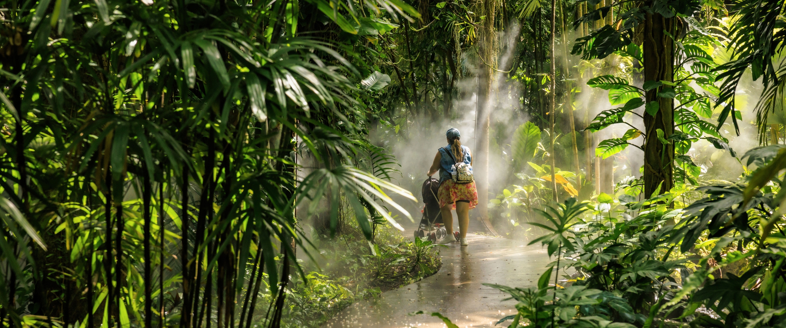
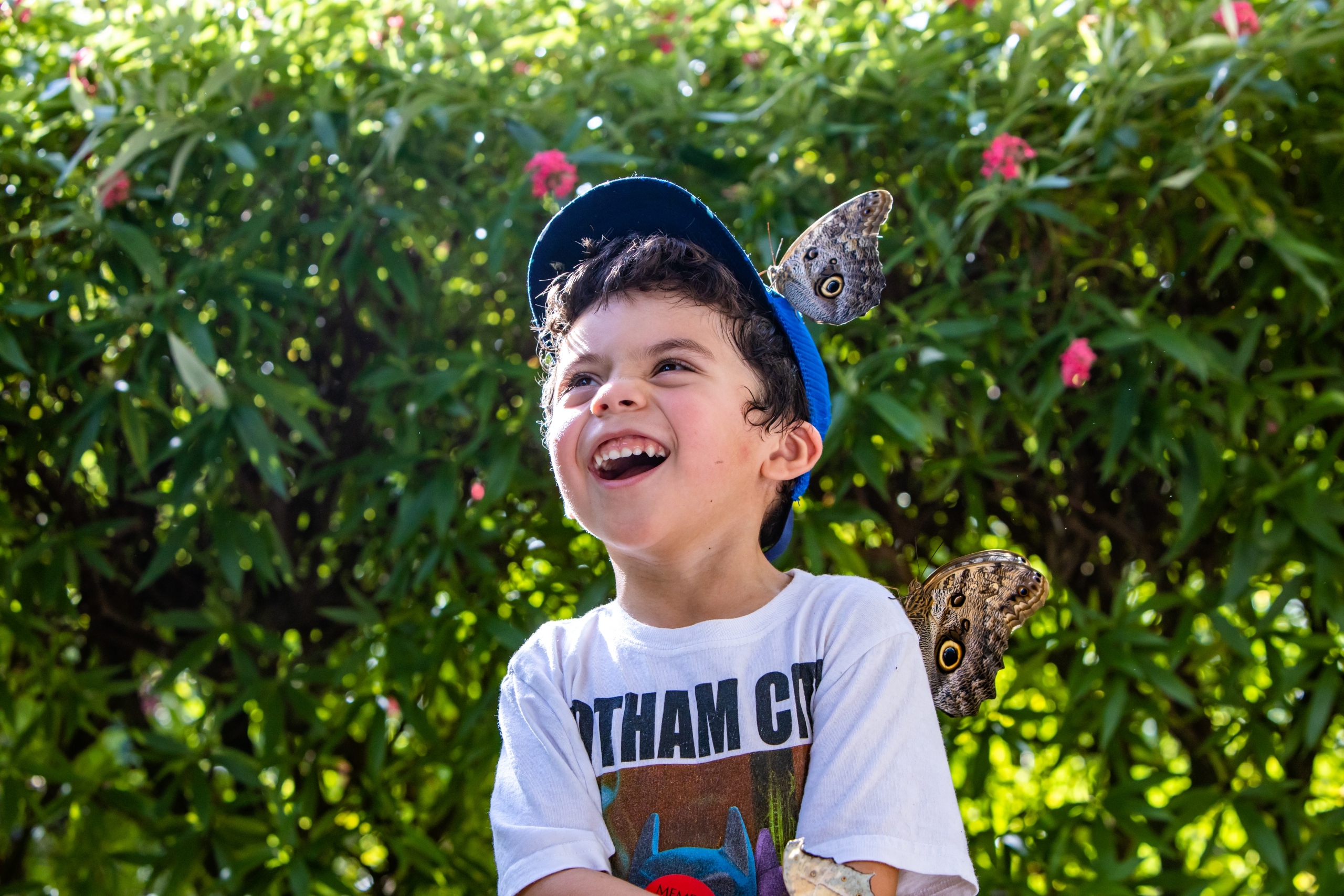
Visit our Tropical Oasis
Explore the wonders and beauty of tropical plants and nature at Fairchild.
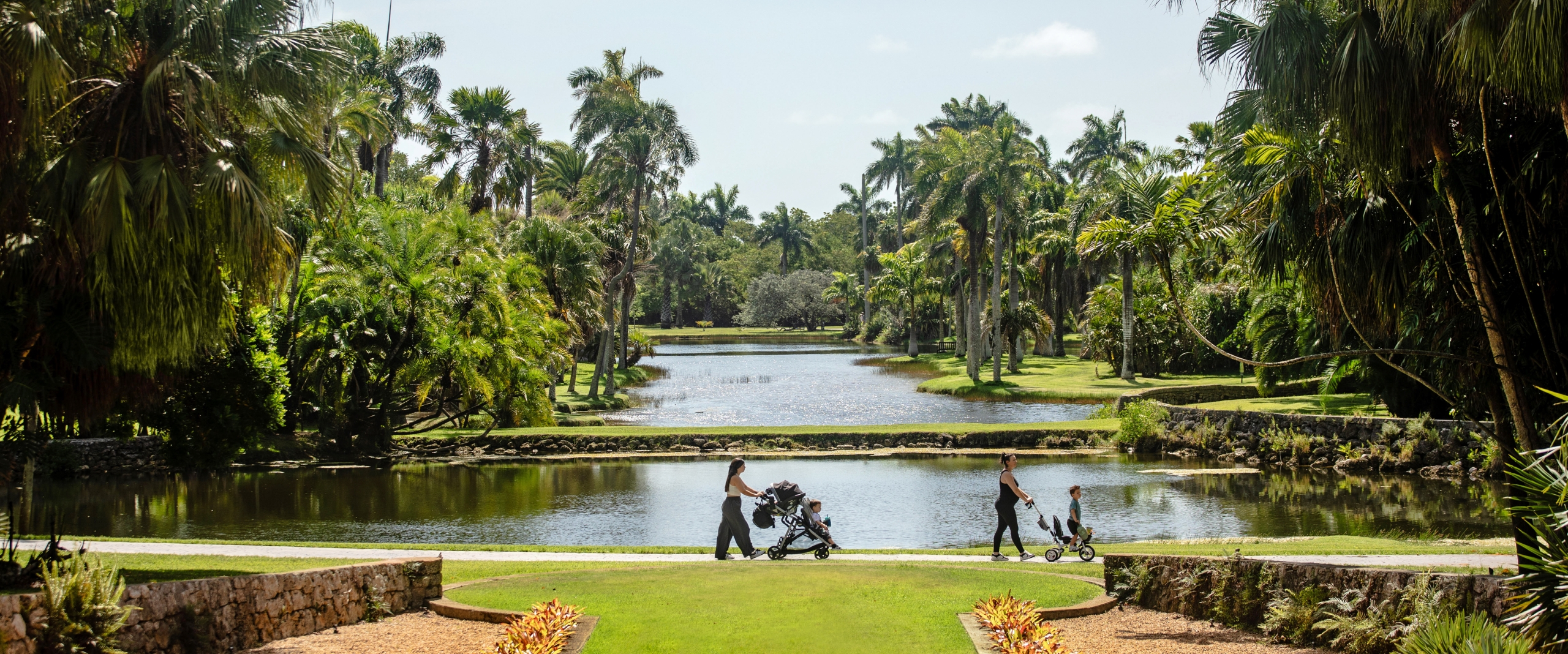
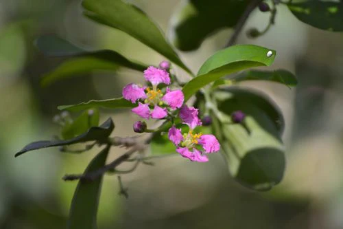
Visit our Tropical Oasis
Explore the wonders and beauty of tropical plants and nature at Fairchild.


Hours & Admission
Fairchild is open every day except for Christmas, December 25
Hours
10:00 a.m. – 5:00 p.m.
Admission
Fairchild Members Free
Adults $24.95
Child (6-17) $11.95
Students (with valid ID) $15.95
Seniors (65 and over) $17.95
In-Garden tram rides Free
Parking Free
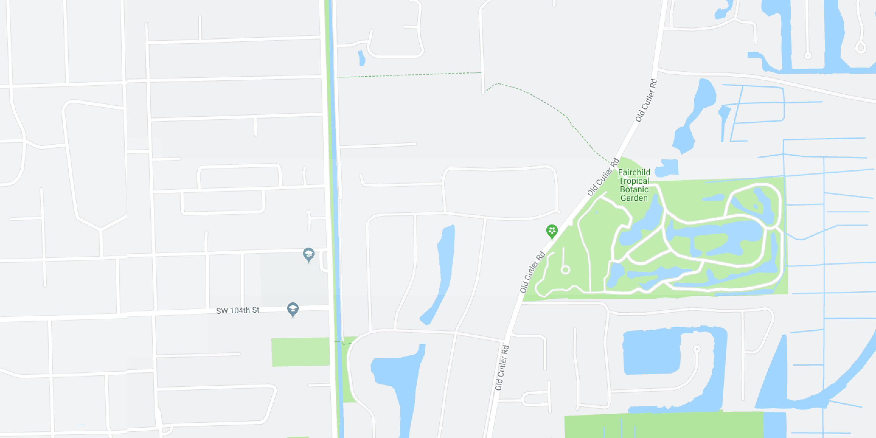
Location
10901 Old Cutler Rd, Miami, FL 33156
MembersGet Tickets Non-Members
Buy Tickets


FOLLOW THE LATEST @fairchildgarden